


z cabredor 19-10-21

cb8310
User
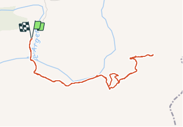

Length
6.1 km

Max alt
149 m

Uphill gradient
161 m
Km-Effort
8.3 km

Min alt
30 m

Downhill gradient
162 m
Boucle
Yes
Creation date :
2021-10-19 11:51:33.424
Updated on :
2021-10-23 07:22:41.373
2h19
Difficulty : Medium

FREE GPS app for hiking
 SityTrail
IGN / Geographical institutes
SityTrail Plus
The world is yours!
About
Trail Walking of 6.1 km to be discovered at Provence-Alpes-Côte d'Azur, Var, Les Arcs-sur-Argens. This trail is proposed by cb8310.
Description
encore une rando où il a fallu changer l'itinéraire, en effet le sentier qui figure sur la carte IGN, n'existe plus, d'où une montée assez hard pour finir l'aller
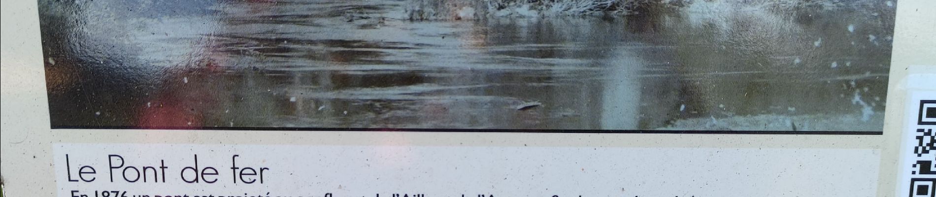
Photos


Positioning
Country:
France
Region :
Provence-Alpes-Côte d'Azur
Department/Province :
Var
Municipality :
Les Arcs-sur-Argens
Location:
Unknown
Start:(Dec)
Start:(UTM)
298531 ; 4812076 (32T) N.
Comments